From Exploration to AI
The Evolution of Australian Surveying
From pioneering explorers to modern data specialists using drones and artificial intelligence

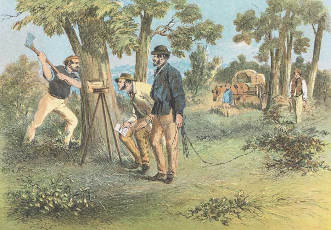
The Pioneering Era
Mapping Uncharted Territories
Captain Cook, Matthew Flinders, and Thomas Mitchell used theodolites and determination to chart Australia's vast landscapes
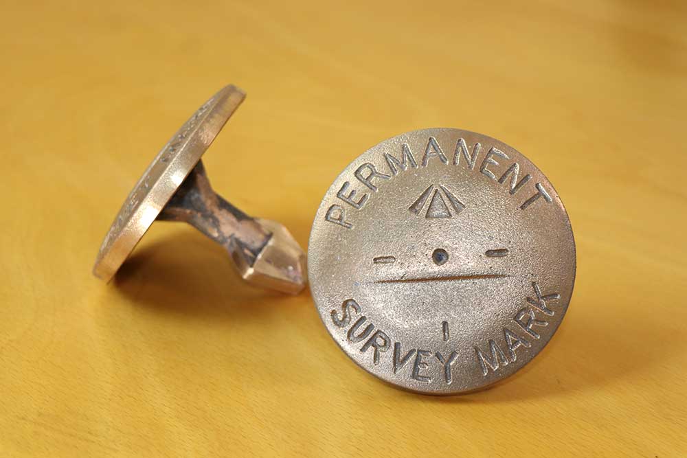
Traditional Surveying
Precision Instruments & Permanent Markers
Theodolites, chains, and astronomical observations created accurate maps and established permanent survey marks that remain today

The Drone Revolution
From Sky to Ground
UAVs capture the landscape from above, zooming down to survey markers with centimeter-level precision
AI & Data Management
Today's Surveying Specialists
Modern surveyors leverage artificial intelligence for automated processing, predictive analytics, and integrated geospatial solutions